Grossglockner High Alpine Road
Discover Austria’s Epic Alpine Drive- The Grossglockner High Alpine Road
The Grossglockner High Alpine Road (Großglockner Hochalpenstrasse) leads up Austria’s highest mountain, the Groβglockner (3798 m/ 12460 feet) and its glacier, the Pasterze.
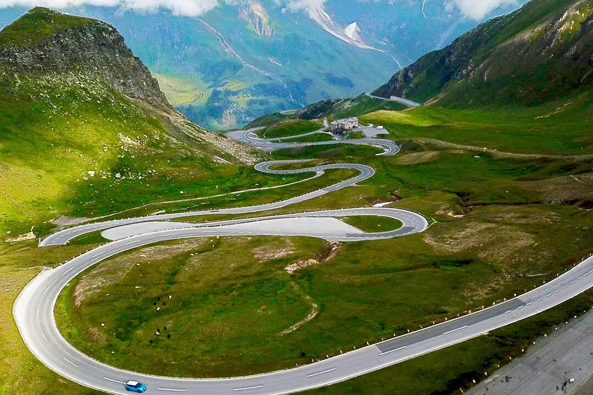
Its 48 km of 36 hairpin turns and serpentine bends ascending to 2504m is one of the greatest alpine drives.
The Grossglockner High Alpine Road can be travelled by car, bus, motorbike or bicycle.
In fact, more than 900.000 guests visit the Grossglockner High Alpine Road every year.

This article may contain compensated links. We may make a small commission that is at no charge to you. See our full disclaimer here
The Grossglockner High Alpine Road is open from early May to early November (weather permitting) from 6 am to 8 pm.
Opening hours, tickets and more information HERE
2025 Day Ticket Prices
Car: 45€ E-Car: 38€
Motorcycle: 35€ E– Motorcycle: 30.50€ Bike: Free
*The road can be used several times on the same day with a day ticket – that is, at the cash desks at the entry and exit areas.
**There are 12 e-charging stations on the Grossglockner High Alpine Road.
How long do you need to drive the Grossglockner High Alpine Road?
It is advisable to get an early start and to check the weather conditions before setting out.
There are many scenic stops, information stops, and restaurants on the road.
It takes a minimum of 3-4 hours to visit. We recommend you plan a full day to visit the Großglockner High Alpine Road.
Humans have traversed over the 2,504 m high (8215 feet) Hochtor as far back as 3,500 years ago.
Celts and Romans mostly used the shortest north-south route for trade.
The Grossglockner High Alpine Road was built as a feat of engineering; construction began on August 30, 1930, and the road was inaugurated on August 3, 1934. The next day, the first car race took place on the road, which was then paved with sand.
The Grossglockner High Alpine Road is only accessible from late spring to Autumn.

Picture from 1930s when building the Grossglockner High Alpine Road © Grossglockner.at

Clearing snow from the Grossglockner High Alpine Road © Grossglockner.at
The Grossglockner in Winter
Heavy snow covers the Grossglockner High Alpine Road for almost six months of the year. In Winter, the road is unsafe and impassable, with snow up to 20 metres and avalanches. Every year, twelve full-time snow clearer crews remove 600,000 to 800,000 m³ of snow from the 48 km alpine road.
The crews start in parallel from Heilgenblut on the Carinthian side and Fusch on the Salzburg side in April, using a specially designed rotation plough. It takes approximately 25 days to clear the Grossglockner High Alpine Road, and the two crews meet at the famous “break-through” (Durchschnitt) at 2,400 m.
Crews are also on standby in the summer, as snowfall is also possible.
Driving the Grossglockner High Alpine Road – a scenic driving adventure.
The Grossglockner High Alpine Road leads from Fusch-Ferleiten (14 km from Zell am See-Kaprun) in Salzburger Land to Heiligenblut in Carinthia via the Fuscher Törl and the Hochtor Pass.
The Grossglockner High Alpine Road is one of Austria’s top three sites, along with Schönbrunn Palace in Vienna and Hohensalzburg Castle in Salzburg.
There is more than just driving the Grossglockner High Alpine Road. There are 12 Adventure Worlds, Museums, exhibitions, information points and four themed playgrounds that provide opportunities to learn about the flora and fauna of the glacier as well as the construction of the road. It is a perfect driving adventure for the whole family.
It is also possible to go on walks along panoramic trails or extended hikes.
Those wishing to spend longer on the Grossglockner High Alpine Road can stay overnight at one of the hotels/huts.

© Grossglockner.at

© Grossglockner.at/Marek
Starting at the base of the Grossglockner High Alpine Road in Fusch-Ferleiten, there is a wildlife and adventure park.
As the road winds its way higher into the mountains, the landscape changed from green grass and tall trees to jagged rocky outcrops covered with snow. Towering above the road are the peaks of the Groβes Wiesbachhorn (3564m) and the Groβglockner (3798m). At every turn, there are vistas of snow-capped peaks, forested slopes and wildflower bedecked pastures.
Keep a look out for the mountain residents – the Marmots (Murmeltiere). The cute, furry marmots are members of the squirrel group and have adapted to live on the Grossglockner. The marmots will poke their heads out of their underground lair after their nap to enjoy the sunny vistas. You can sometimes hear the shrill whistle as the marmots communicate with each other.
At Piffkar (1,620 m / 5315 feet), there is the Exhibition “Salzburg’s Tallest – the Fascination of Mountains”, a playground and a nature trail
Continuing you reach Hochmais at 1,850 m (6070 feet), which is a good place to stop to see the mountain panoramas and visit the information point.
At 2260 m (7415 feet) you can stop at the Haus Alpine Naturschau, which is a museum housed in the stone-wall construction camp dating back to when the Grossglockner High Alpine Road was being built. The museum focuses on alpine ecology, has a marmot show and exhibitions, open-air installation and a walking trail. There is also a shop and a bistro.
Continue ascending as you drive along the turns and serpentine bends. Before you reach the Fuscher Törl, take the short access road leading to the Edelweißspitze viewpoint, the highest point of the road (2572 m /8438 feet). From here, you have the best vantage point of the majestic Höhe Tauern National Park.
The Edelweißspitze (open from 7:30 am for early-birds!) is a restaurant with a beautiful sunny terrace where you can leisurely view 37 3000 m (~9850 feet) peaks and 19 glaciers. The Edelweisshütte also provides accommodation on the Groβglockner Road. There is also the Glockner Shop where you can buy souvenirs.

View from the Edelweißspitze

The Fuscher Törl (2428 m/ 7966 feet) is one of the most famous points on the Grossglockner High Alpine Road where the road breaks through at the southern foot of the Törlkpf.
The Fuscher Törl has a memorial and observation platform, which is the best location to see the breathtaking view of the hairpin bends of the Grossglockner High Alpine Road. There is also the Fuschertörl restaurant.
Return to the main road from the Edelweissspitze and drive on to the small mountain lake, Fuscher Lacke.
At Fuscher Lacke (2,262 m/ 7421 feet), the original road maintenance workers’ booth houses the exhibition “Construction of the Road”. There is also a short 10-minute walk around the lake.

© Grossglockner

As you come to the Hochtor (High Gate) at 2,504 m (8215 feet), you travel from Salzburg state to Kärnten (Carinthia). At Hochtor, there is a “High Gate Pass Sanctuary” exhibition, the “Celts, Romans and Muleskinners” nature trail (~30 min.), shop and bistro.
Pause for a moment at the Hoctor Pass Summit (2504m), and after the Römer Hut, take the detour to the Franz Josefs Höhe.
Schoeneck (beautiful corner) at 1,953 m (6407 feet) has a Nature show, a botanical walking trail (10 min.), a themed playground and a restaurant. Depending on the season, you may see colourful flowers and light green or golden larches are waiting for you on the south side of the Grossglockner. Display boards help you to identify the plants.
Stop and visit the Franz Josefs Höhe (2369 m/7772 feet). The stone terrace was named after Emperor Franz Josef, who visited the glacier in 1856.
Today it is the site for a visitors’ centre, observation tower and 3 restaurants.
From Franz Josefs Höhe you have a direct view of the Grossglockner and the Pasterze glacier. The Franz Josefs Höhe is also the starting point for hiking trails leading to the summit at 3798 m (12460 feet).


You will start your descent by backtracking slightly just past Schöneck.
At the base of the Grossglockner Alpine Road is the stunning village of Heiligenblut (1300m /4265 feet), set against the backdrop of the Grossglockner. The beautiful yellow Gothic pilgrimage church St Vizenz glows against the mountain scenery. The village is a lovely place to stop for lunch and to check out local crafts and souvenirs in the shops.


Returning
There are two options.
Option 1: You can return to Zell am See-Kaprun via the Grossglockner High Alpine Road retracing your drive.
Option 2: We recommend doing a round trip via Lienz and Mittersill (~100 km / 62 miles).
Lienz is known as the “Pearl of the Dolomites” and is located where the valleys Drautal, Pustertal and Iseltal meet. The lovely east Tyrolean town with its Mediterranean climate and numerous hiking possibilities make it a popular holiday destination and worth visiting for a few days.
Mittersill is in the heart of the Hohe Tauern National Park and home to the National Park Headquarters and National Park Exhibition Centre. Mittersill is part of the Kitzski region, and Kitzbühel is 30 km away, over the Pass Thun.
Just 26 km ( miles) west of Mittersill is the Krimml Waterfalls and the start of the Gerlos pass to Zell am Ziller.
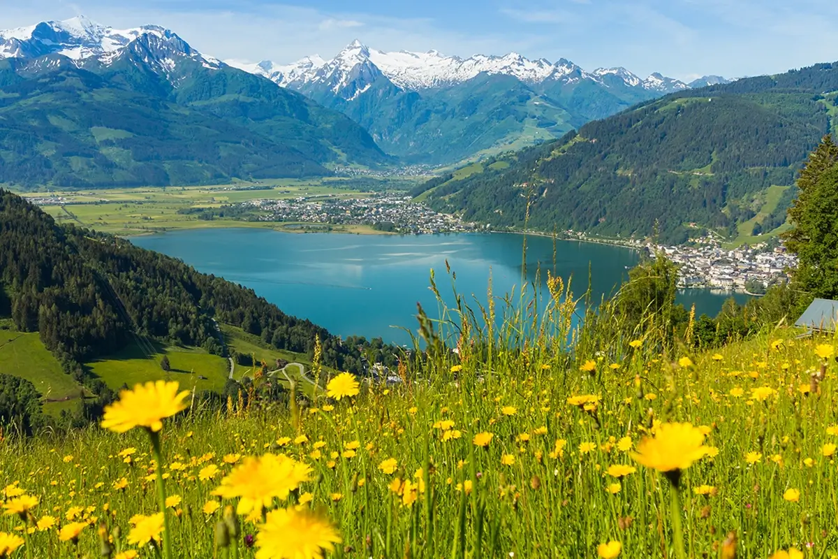
Discover Zell am See-Kaprun
How to Get to Zell am See-Kaprun
Free Public Transport in Salzburgerland
Salzburg Day Trips
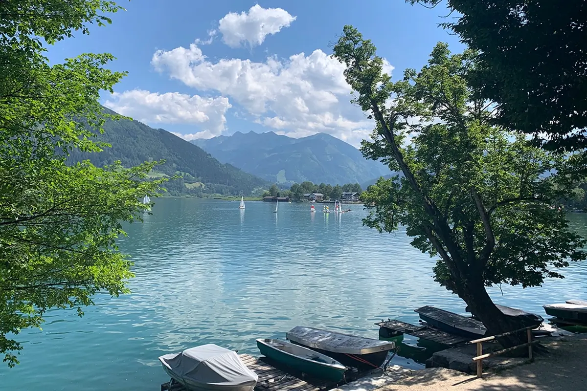
8 Reasons You Must Visit Zell am See-Kaprun in Summer
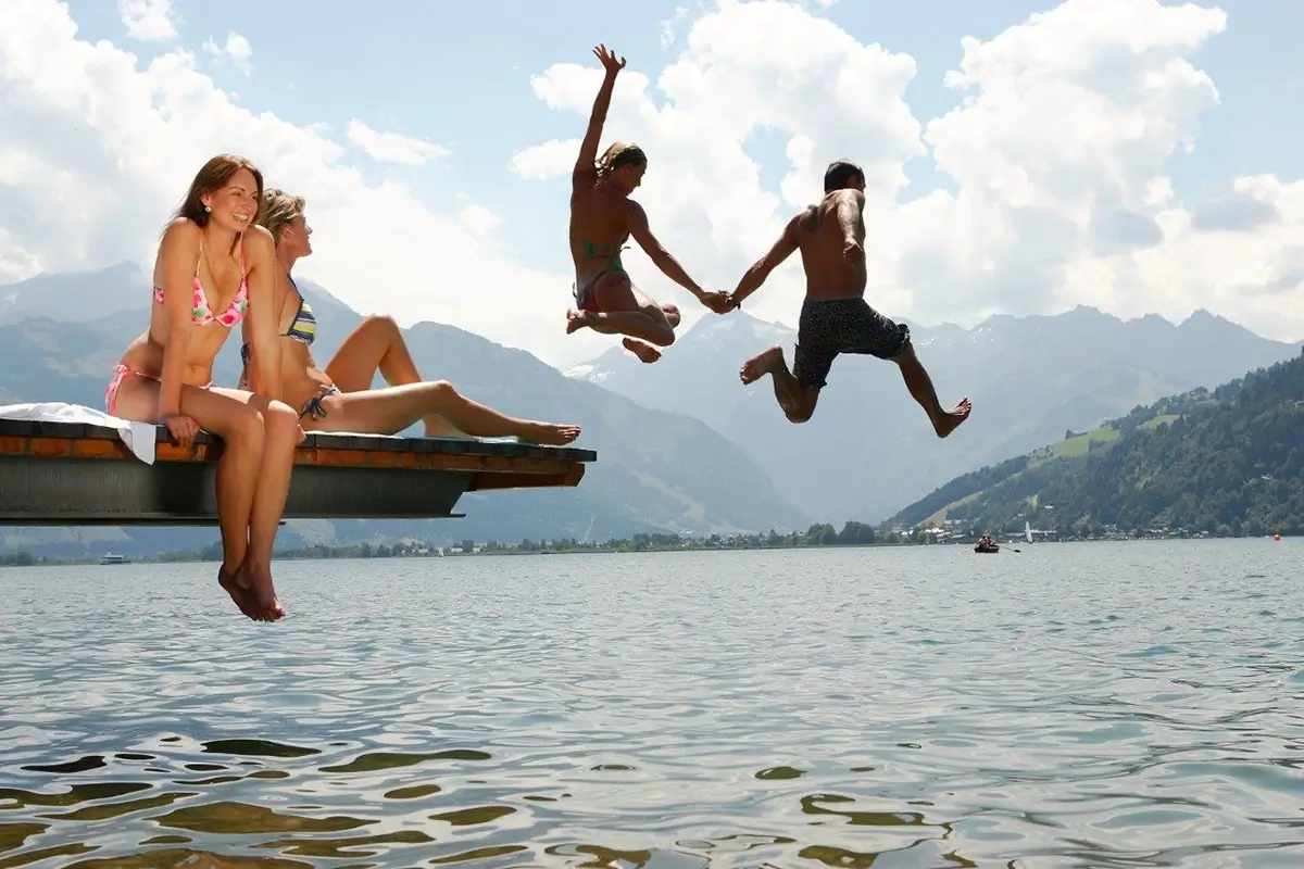
Zell am See-Kaprun Summer Bucket List
Driving the Großglockner High Alpine Road
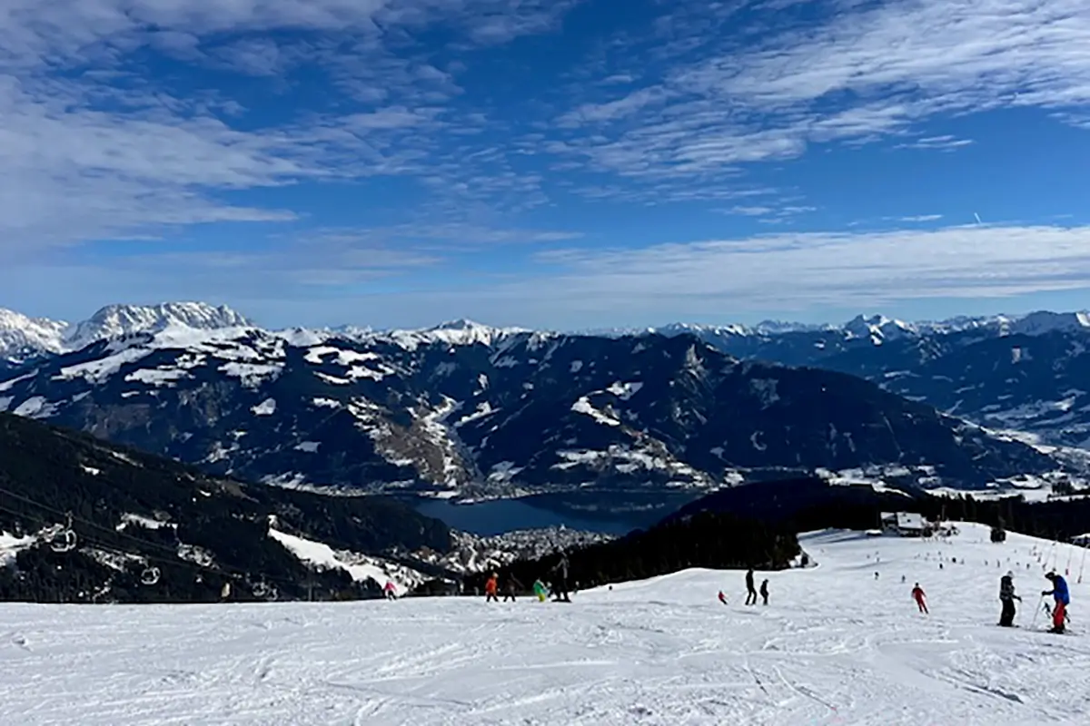
Schmittenhöhe Ski Resort Winter Guide
Trip Planning
Here are some articles to help you plan your trip to Zell am See-Kaprun

Austria Trip Planning Guide

Austria Travel Tips & Info

Transport Guides

Skiing in Austria
Recommendations, Tips and General Advice on travelling to Zell am See-Kaprun
Austria Train Guide

Top Tips travelling in Austria by Train

Public Transport Guide

Driving in Austria

Renting a Car in Austria
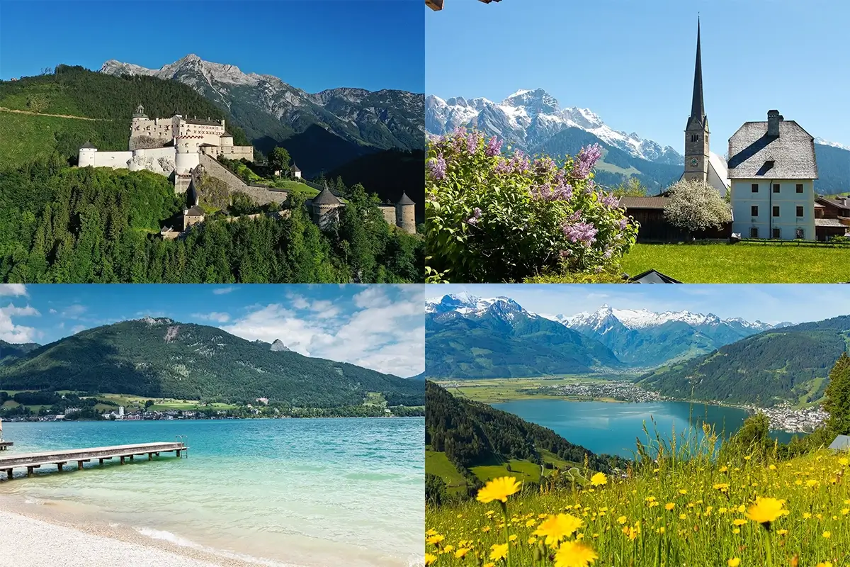
Wanderlusting where else to visit in Austria?
Read these Articles for Recommendations, Tips and Advice on Sights to See and Things to Do

Vienna Destination Guide

Top 16 Places to Visit in Austria

Vienna Top 30 Bucket List

Salzburg Bucket List

Hallstatt Bucket List
Plan your Austrian Holiday
Follow AustriaTravelPlanning by Wanderlustria

Chief Wanderlust’er and Austria travel expert, I’m on a mission to help you uncover the magic of Austria — from fairytale cities and alpine villages to awe-inspiring landscapes and rich cultural traditions.
As the founder of Austria Wanderlust Travel Planning, the Austria Travel Planning Facebook Group, and director of Wanderlustria eU, I provide trusted tips, local insights, and curated resources to make your Austrian adventure seamless, authentic, and unforgettable.